Seal borders
Solaris provides national agencies with persistent intelligence at borders and over vast unmonitored domains:
Seals borders – land, sea and air – ensuring all objects are seen and tracked
Monitor critical pre-frontier areas for early detecting and mitigation of threats
Extend critical traffic management, communications and navigation services over seas and wide domains of interest
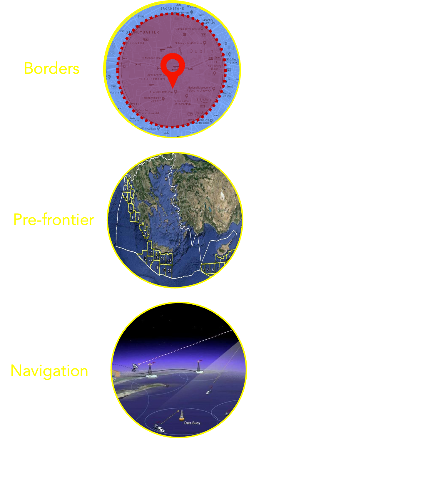
Solaris Seals Borders
Detect : migration, trafficking, dark vessels
Seal : all borders - land, sea, air
Pre-frontier : monitor deep threats, track and stop
Detect early, interdict faster - save lives, mitigate economic damage
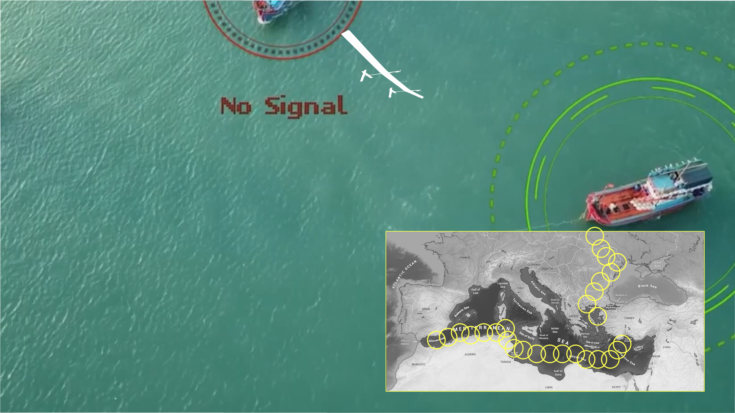
Geofenced
Solaris fleet continuously covers wide, vulnerable domains
— Common Operating Picture for all forcesIntelligence sensor suite
— SAR, Optical/Hyperspectral, AIS/VDES, ELINT sensorsMulti-mission : Borders, Search & Rescue, Interdictions
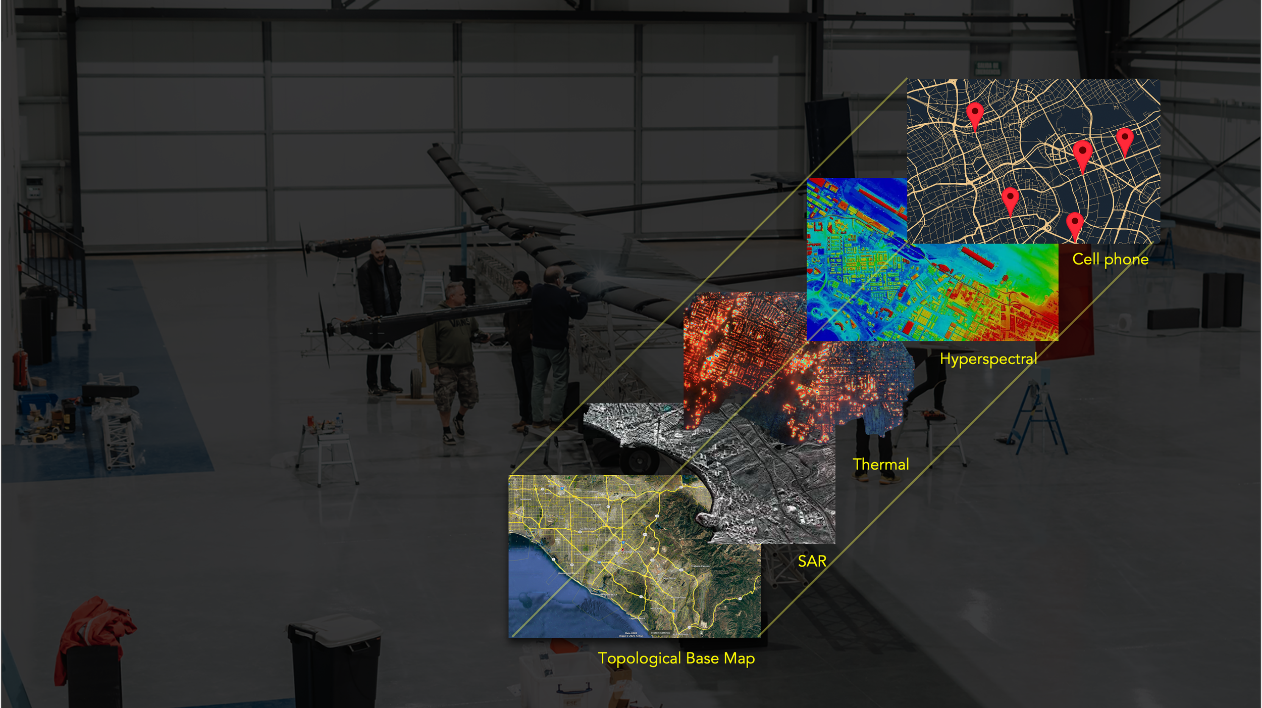
Data
Layers of intelligence
Solaris works with 3rd party COTS or custom sensor providers who provide:
Standards : Solaris data sets can be overlaid on standard geo-referenced maps
Seamless : data is fully GIS referenced from contiguous capture for seamless integration
Browser : web native formats enable flexible distribution to any team member from any device based on tiered access controls and security